Sunday, 28 August 2011
Day 27: Castle Eaton to Ashton Keynes
Our Thames Path book, which is ~10 years out of date, shows a very boring path along the main road out of Castle Eaton. Fortunately, the path has now been re-routed and follows the exact course of the river all the way from Castle Eaton to Cricklade. This does make the walk quite a bit longer, but the stretch is very beautiful, the river shallow and reedy, and well worth the extra distance. So today the walk was 10 miles: 5 miles from Castle Eaton to Cricklade, and 5 miles from Cricklade to Ashton Keynes.
The weather was changeable, with bright sun and heavy showers. As you can see from the picture below, the harvests have now been gathered, leaving stubble on the fields. A small dove minding its own business sitting in the stubble was very surprised to be approached by a medium-sized boy...!
A typical view of the narrow Thames close to Cricklade.
And a much needed lunch break in Stacey's Cafe, Cricklade.
Then a mile or so upstream of Cricklade, a chance to walk ACROSS the River Thames!
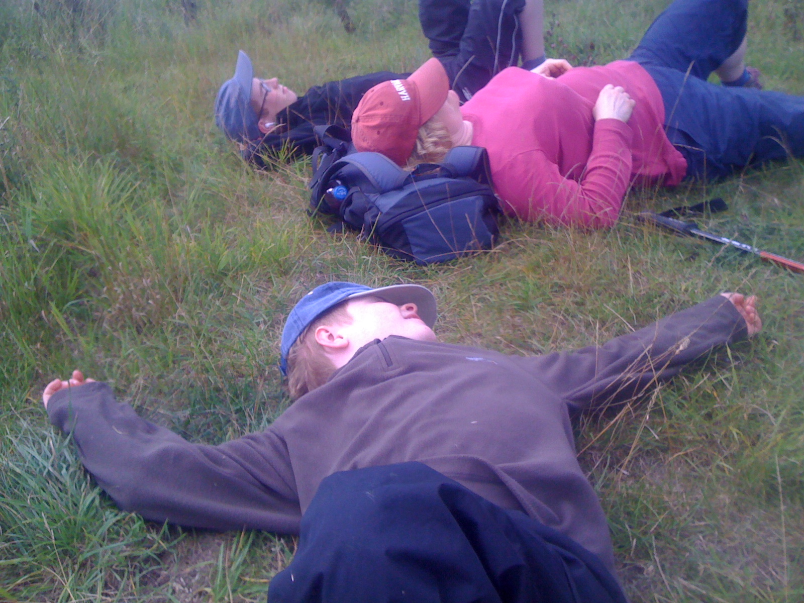
Before a few more miles and time for a rest
A couple of miles before Ashton Keynes we were met by John and made it to the village with enough energy left for a play on the fancy park equipment!
Monday, 22 August 2011
Day 26: Lechlade to Castle Eaton
A bright, sunny afternoon and 7 miles planned. From Lechlade and heading upstream, the Thames Path follows the river for barely half a mile....
... past the junction with the now defunct Thames and Severn Canal, which marks the upper limit of the navigable Thames (or at least the limit for motor-powered boats). An old 'round house' stands at the point.
The Thames Path then diverts away from the river unfortunately....
... and onto the worst part of the entire 200 mile walk. Here we have to follow a busy main road, with no real footpath, for over a mile. Not much fun, especially as the sun was now beating down.
The path then detours through a winding series of country lanes and bridleways, where we saw deer grazing. (And we found some hay bales for a lie down).
A few more more miles of lanes, paths and bridleways, with the occasional glimpse of a shallow, reedy Thames, and onto Castle Eaton.
... and onto the worst part of the entire 200 mile walk. Here we have to follow a busy main road, with no real footpath, for over a mile. Not much fun, especially as the sun was now beating down.
The path then detours through a winding series of country lanes and bridleways, where we saw deer grazing. (And we found some hay bales for a lie down).
Thursday, 18 August 2011
Day 25: Tadpole Bridge to Lechlade
We knew this would be a marathon - we just didn't know quite how much of a marathon. The plan was 11 miles, to get as far as Lechlade. As you will see, it turned out to be a bit more than that! The (birthday) morning started off warm and sunny, with a tarmac path to walk on, past a beautiful part of the river...
... to quickly reach Rushey Lock, one the the last traditional 'paddle-and-rhymer' locks, with possibly the most idylic lock-keeper's cottage on the Thames.
Four miles into the walk and we reached Radcot Lock - and this is where the trouble began. Blocking our way was a herd of suckler cows and their calves plus one very agressive bull, complete with horns. Not just in the distance, but blocking the gate and stopping us from entering the field. We tried a few times, only for this to attract a second, extra large angry bull, complete with nose ring! We then met an out-of-breath walker who had been evicted from the field by one of the bulls, and we decided a detour was needed.....
Sunday, 7 August 2011
Day 24: Rose Revived to Tadpole Bridge
Day 23: Bablock Hythe to Rose Revived
Sunday, 5 June 2011
Day 22: Swinford Bridge to Bablock Hythe
It has been a couple of weeks since our last walk, because the youngest member of the family unfortunately broke his ankle. Now that has healed, we set off on a shorter walk to get us back into the stride. So today we planned on just 4 miles, from Swinford Bridge (Eynsham) to Bablock Hythe.
Saw this old boat, but I think we'll stick to walking....

After a few meadows and meanders, perhaps 1.5 miles, we reached Pinkhill Lock. The guidebooks describe two alternative paths here, either crossing over the Lock to the 'right bank' (looking upstream) and then taking a large detour away from the river to reach Bablock Hythe; or staying on the 'left bank' (looking upstream) and following a nice riverside path until opposite the Ferryman Pub at Bablock Hythe, then taking the chain ferry across. So, first of all we phoned the Ferryman, only to be told that the ferry has not run for two years - though they hoped to get it back in action during summer 2011. So, if we were intending to go further upstream than Bablock Hythe, that would be a real problem - but since that was our end point, we decided to stick to the more scenic 'left bank' (and leave a car at the end!)
It was indeed a very scenic walk, skirting the egde of Farmoor Reservoir and three nature reserves. At this point we reached a landmark - the first point on the Thames where we could throw a stone across to the other bank!!!
Stones ahoy!

Notice board about things to look out for - attention apostrophe police!
Saw this old boat, but I think we'll stick to walking....
After a few meadows and meanders, perhaps 1.5 miles, we reached Pinkhill Lock. The guidebooks describe two alternative paths here, either crossing over the Lock to the 'right bank' (looking upstream) and then taking a large detour away from the river to reach Bablock Hythe; or staying on the 'left bank' (looking upstream) and following a nice riverside path until opposite the Ferryman Pub at Bablock Hythe, then taking the chain ferry across. So, first of all we phoned the Ferryman, only to be told that the ferry has not run for two years - though they hoped to get it back in action during summer 2011. So, if we were intending to go further upstream than Bablock Hythe, that would be a real problem - but since that was our end point, we decided to stick to the more scenic 'left bank' (and leave a car at the end!)
It was indeed a very scenic walk, skirting the egde of Farmoor Reservoir and three nature reserves. At this point we reached a landmark - the first point on the Thames where we could throw a stone across to the other bank!!!
Stones ahoy!
Notice board about things to look out for - attention apostrophe police!
Sunday, 24 April 2011
Day 21: Osney to Swinford Bridge
Baking hot day - the hottest April day for 62 years (apparently). Temperatures hit close to 30°C in the shade, so we put off walking until after 3 pm - but it was still very hot! The plan was 6 or 7 miles, from Osney (on the edge of Oxford) to Swinford Toll Bridge (near Eynsham). After parking the car, we detoured along some of the Osney streams, all really branches of the Thames, and in one place counted over 50 chub, estimated 1.5 to 3 lb each.
We walked for a mile or so to the very edge of Oxford, and out onto Port Meadow. Here we encountered people, sun, more people, cows, more people, boats, more sun, more people....
Sunday, 3 April 2011
Day 20: Iffley to Osney
This was just a short hop really - from one end of Oxford to the other. Probably only 3 miles or so, maybe less, but it sets us up for the much longer stretches upstream of Oxford. We set off from Iffley Lock, which was rebuilt in 1924 by Lord Desborough, then Chairman of the Thames Conservancy. This is commemorated by a bronze bull's head, below.
Just around the bend is a less impressive commemoration monument - this is the Bourne stone, remembering Gilbert Bourne, a former Professor of Zoology and rowing coach. Bourne was coach of numeorus winning boatrace crews, plus a sort of unofficial coach to the Gold and Silver medal winning boats at the 1912 Stockholm Olympics.
Subscribe to:
Posts (Atom)